Texada Island
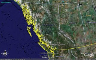
The Property encompasses the northern portion of Texada Island, one of a group of Islands collectively known as the Gulf Islands, in the Strait of Georgia between the mainland and Vancouver Island. Located within the Nanaimo Mining District, the property’s geographical coordinates are: North Latitude: 49 Degrees 50’, West Longitude: 124 degrees 34’ (NTS Map sheet 092F/15).
Located approximately 120 kilometers northwest of Vancouver, British Columbia, Texada Island is readily accessible by air or by ferry, and benefits from a well developed infrastructure of services, tidewater access and transportation methods.
The island is characterized by low relief with poor to moderate outcrop exposure due to variable thicknesses of glacial till. Small diameter spruce and fir with relatively little undergrowth constitute the dominant vegetation. Climate is generally mild and average annual precipitation is in the order of 70 to 100 cm, falling mostly in the late fall and winter months. Fieldwork is possible year round.


0 Comments:
Post a Comment
<< Home